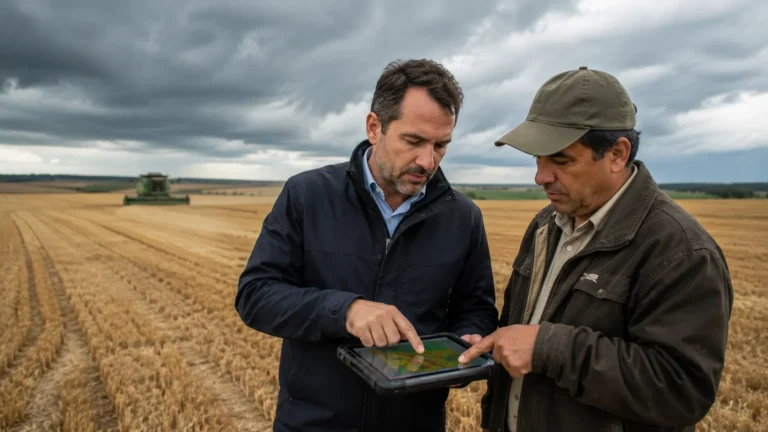
Area-yield index insurance has emerged as a cornerstone of modern sovereign risk mitigation, fundamentally transforming how nations and large-scale agricultural cooperatives defend against catastrophic, large-scale crop failures. Unlike traditional indemnity insurance—which necessitates exhaustive, site-by-site physical damage assessments—area-yield insurance is triggered by the deviation of average regional crop yields from a predefined historical benchmark.
Related Insights


By utilizing objective, satellite-derived vegetation indices, this model removes the subjective friction of manual claims processing, creating a high-velocity financial architecture that can insulate entire agrarian districts from systemic weather shocks. For sovereign governments and institutional lenders, this represents a massive leap toward fiscal stability, as it allows for the rapid, automated deployment of liquidity following regional yield collapses, thereby preventing the local economic contagion that typically follows a massive harvest failure.
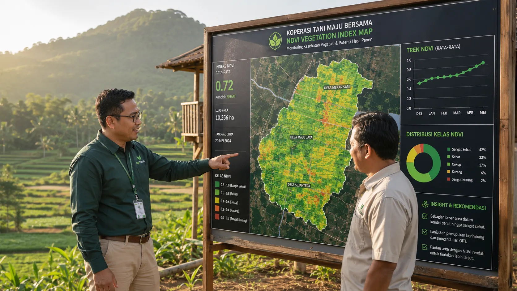
As we navigate through the climate-volatile landscape of 2026, the reliance on advanced remote sensing—specifically Normalized Difference Vegetation Index (NDVI) data—has become the gold standard for institutional underwriting. By monitoring the density and health of vegetation across massive geographies via orbital arrays, insurers can correlate specific biomass deficits with quantified yield losses.
This technological precision allows underwriters to eliminate the moral hazard associated with individual farming claims while drastically lowering the administrative cost of risk distribution. The result is a highly scalable, data-verified insurance product that protects the liquidity of regional credit channels, ensuring that even in the face of a regional climate disaster, the flow of essential agricultural capital remains uninterrupted.
The Structural Efficiency of Satellite-Triggered Payouts
The primary advantage of area-yield index insurance is its radical simplification of the claims lifecycle. Traditional crop insurance models have been historically plagued by excessive administrative overhead, where the cost of verifying an individual farmer’s loss often exceeds the value of the insurance payout itself. This operational inefficiency rendered rural insurance products prohibitively expensive and largely unavailable to the vast majority of smallholder cooperatives.
Related Insights


Area-yield frameworks solve this by shifting the unit of insurance from the individual plot to the aggregate geographic zone. This systemic shift delivers three core operational benefits:
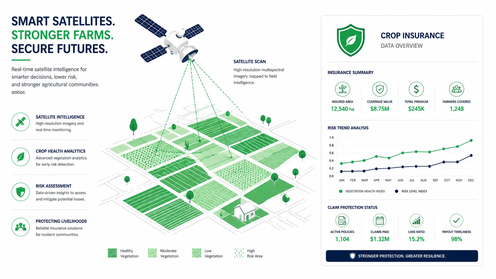
- Objective Automated Triggering: Payouts are triggered by standardized satellite telemetry rather than subjective field observations. When the aggregate regional NDVI data falls below the pre-agreed threshold, the insurance contract initiates an automated payout to all covered policyholders within that zone, irrespective of their individual plot performance.
- Eradication of Asymmetric Information: Because the data is sourced from neutral, high-altitude orbital assets, there is zero informational advantage for either the insurer or the insured. This transparency essentially eliminates moral hazard, as no individual farmer can manipulate the outcome of a massive, region-wide satellite observation.
- Instantaneous Liquidity Injection: By removing the requirement for physical adjusters, the delay between a verified yield shock and capital disbursement is slashed from months to mere days. This speed is critical for preventing the regional economic collapse that typically follows a major harvest shortfall.
By optimizing these insurance mechanics, governments and commercial insurers can finally offer widespread protection at a fraction of the cost associated with legacy indemnity models, securing the financial foundations of primary production networks.
Stabilizing Sovereign Credit Channels
Beyond the immediate benefit to the producer, area-yield index insurance acts as a vital macroeconomic stabilizer for regional credit channels. For institutional banks and local commercial lenders, the primary risk of rural agriculture is systemic default. A localized climate event that destroys a regional harvest doesn’t just impoverish the farmers; it renders the regional bank’s entire agricultural loan portfolio non-performing, threatening the lender’s liquidity and regional trade stability.
Area-yield index insurance serves as a programmatic hedge for these lenders. When a regional harvest is protected by an index-based safety net, the risk of systemic loan default is essentially neutralized. This structural protection allows regional banks to:
- Lower Interest Rate Premiums: With the default risk managed by the insurance trigger, lenders can reduce the credit risk premium built into their loan interest rates, making agricultural finance more affordable.
- Expand Capital Deployment: A de-risked portfolio encourages commercial lenders to increase their agricultural loan ceilings, injecting more capital into the value chain.
- Maintain Trade Pipeline Continuity: Even during an off-year, the automated insurance payout ensures the cooperative remains solvent, enabling them to procure essential inputs for the subsequent planting cycle.
This integration is frequently prioritized by global development organizations, including the World Bank, which views satellite-verified insurance as an essential building block for regional trade resilience.
Synergizing Remote Sensing with the Agritech Financial Landscape
The macroeconomic stabilization achieved by area-yield index insurance reaches its peak velocity when it interfaces directly with existing, data-driven rural financial architectures. This high-resolution protection creates an incredibly resilient financial ecosystem that allows for the safe deployment of sophisticated digital wealth-building tools.
This cross-platform technical connectivity creates an unassailable financial loop. For instance, the verified harvest health data captured by these satellite systems is often directly integrated with alternative data credit scoring models, creating a seamless feedback loop between productivity and credit access. Furthermore, the operational transparency afforded by area-yield models makes these cooperatives ideal candidates for wholesale syndicate financing, effectively connecting them with institutional lenders via direct liquidity injection systems.
By removing the threat of systemic climate default, protected farming networks can safely maximize their productivity by purchasing heavy machinery through asset-backed financing configurations. Ultimately, this comprehensive data integration positions these agrarian regions to capture massive capital allocations from institutional ESG investment portfolios raised via global rural green bonds, ensuring their long-term commercial autonomy.
Conclusion
The integration of area-yield index insurance and remote sensing telemetry marks a permanent, structural evolution in sovereign risk management. By replacing the archaic, high-friction model of manual loss verification with automated, satellite-verified data triggers, the international financial community has successfully built a robust safety net for the global food supply chain. The historical volatility of large-scale harvest failures is no longer an insurmountable barrier to regional economic stability. As satellite orbital arrays continue to reach hyper-local precision, and automated underwriting algorithms optimize their predictive models, the agrarian regions that integrate with these remote-sensing insurance frameworks will secure their position as highly resilient, fully capitalized, and prosperous anchors of the modern global economy.