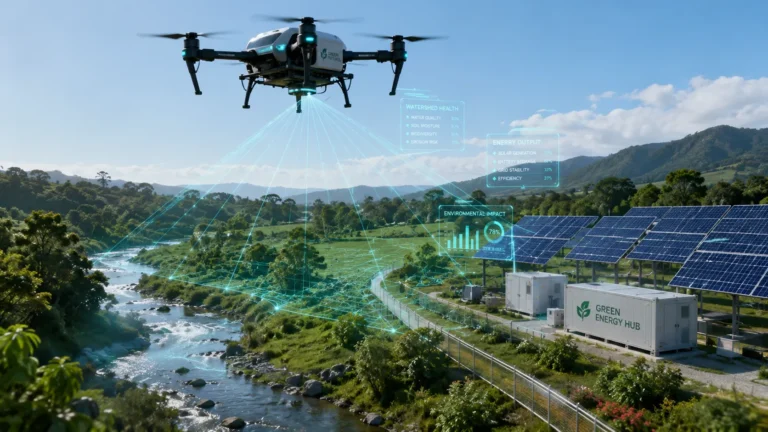

The strategic integration of Satellite Geospatial Data into agricultural risk models is fundamentally restructuring the global crop insurance and reinsurance markets in 2026. Historically, underwriting agricultural risk in emerging markets has been an actuarial nightmare. The inherent volatility of climate change, combined with the opaque nature of rural supply chains, created an environment characterized by massive asymmetric information. Insurers faced prohibitive administrative costs when deploying human loss adjusters to remote regions, resulting in high premium loads that alienated the very farmers who needed coverage the most.
Related Insights
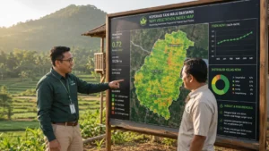
Today, advanced institutional insurers and multilateral macro-grant providers are redefining the sector by utilizing Satellite Geospatial Data to eliminate these operational frictions. By transitioning from subjective human inspections to deterministic, orbital data streams, the industry is effectively engineering a highly scalable, mathematically rigorous safety net for the global agrarian economy.
For Chief Risk Officers (CROs) and agricultural actuaries, the objective is to minimize “basis risk”—the discrepancy between the actual loss experienced by the farmer and the payout triggered by the insurance policy. Traditional indemnity models chronically suffer from high basis risk due to localized reporting errors and fraudulent claims.
This comprehensive actuarial analysis explores how the deployment of alternative data, advanced atmospheric APIs, and precise orbital telemetry is revolutionizing the processing of parametric claims, drastically lowering loss adjustment expenses (LAE), and unlocking massive reserves of institutional capital for rural resilience.
1. The Actuarial Failure of Traditional Indemnity Models
To fully grasp the technological leap occurring in agricultural finance, we must first dissect the mathematical failure of legacy indemnity insurance. Traditional crop insurance is based on an indemnity framework: a farmer reports a loss, an insurance adjuster travels to the physical location, visually inspects the damaged crop, and authorizes a payout based on the observed deficit. In a volatile climate environment, this model is structurally unscalable.
Related Insights
Furthermore, this legacy model suffers from severe adverse selection and moral hazard. Farmers possess more knowledge about the localized micro-climate of their specific plots than the insurer does. Consequently, organizations solely relying on traditional visual inspections rather than Satellite Geospatial Data are often forced to aggregate risk across broad, inaccurate geographical zones.
This inaccuracy forces actuaries to artificially inflate baseline premiums to protect the firm’s capital reserves, thereby pricing out the most vulnerable Tier-2 and Tier-3 rural cooperatives. The administrative cost of sending human adjusters to assess thousands of fragmented, one-hectare farms after a regional flood often exceeds the actual value of the claims themselves, resulting in mathematically unsustainable combined ratios.
2. Parametric Insurance and the Rise of Satellite Geospatial Data
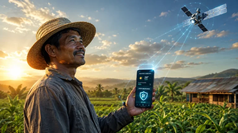
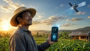
The definitive actuarial solution to the traditional indemnity crisis is the deployment of parametric insurance frameworks. Parametric (or index-based) insurance does not indemnify the pure loss of a crop; instead, it issues a pre-agreed payout when a specific, objective environmental trigger is breached. The core architecture of parametric policies relies entirely on Satellite Geospatial Data to function securely and autonomously without human intervention.
For example, rather than insuring a farm against “drought damage,” a parametric policy insures the farm against “a soil moisture deficit dropping below 15% for 20 consecutive days during the critical silking phase of maize.” If the orbital sensors verify that this exact threshold has been breached, the smart contract executes an instantaneous payout to the farmer’s mobile wallet. There is no claims filing process, no human adjuster, and absolutely zero ambiguity. This complete eradication of Loss Adjustment Expenses (LAE) allows insurers to drastically lower their gross written premiums (GWP), scaling their coverage to millions of previously unbankable smallholder farmers.

3. Technical Mechanisms: NDVI, SAR, and Weather APIs
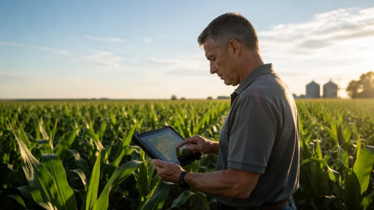
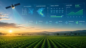
The process of extracting actionable actuarial intelligence from Satellite Geospatial Data requires the synthesis of several advanced technological disciplines. Institutional underwriters do not simply look at optical photographs from space; they analyze complex, multi-layered data streams.
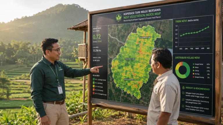
- Normalized Difference Vegetation Index (NDVI): NDVI utilizes multispectral orbital sensors to measure the exact amount of visible and near-infrared light reflected by vegetation. Healthy crops absorb most of the visible light and reflect a large portion of near-infrared light, resulting in a high NDVI score. Actuaries use historical NDVI indices to establish a baseline “normal” yield. If current NDVI readings drop below the historical standard deviation, it acts as a highly accurate proxy for crop failure.
- Synthetic Aperture Radar (SAR): The primary limitation of optical imagery is cloud cover—a frequent occurrence during monsoon seasons when flood risks are highest. SAR solves this by emitting microwave pulses that penetrate clouds and physical weather systems. SAR can accurately map the extent and depth of floodwaters over agricultural land in real-time, providing immediate data for flood-indexed parametric triggers.
- API-Driven Weather Telemetry: By fusing weather APIs with Satellite Geospatial Data, actuaries can overlay real-time localized precipitation, hyper-local temperature fluctuations, and wind speed directly onto the geospatial maps. This fusion allows for the creation of complex, multi-peril parametric triggers that highly correlate with actual biological crop yields.
4. Scaling Macro-Grants and Sovereign Risk Transfer
The application of this technology extends far beyond retail micro-insurance; it is fundamentally altering how sovereign nations and macro-grant providers manage systemic agricultural risk. In regions where agriculture accounts for a significant portion of the national GDP, a massive climate shock can trigger a sovereign debt crisis. Multilateral Development Banks (MDBs) and organizations like the World Bank utilize these orbital indices to structure sovereign-level macro-grants and catastrophe bonds.
For macro-grant providers, Satellite Geospatial Data eliminates the political friction historically associated with disaster relief. Instead of waiting for a distressed government to formally request aid and conduct lengthy damage assessments, the MDB monitors the national agricultural index remotely. If the satellite detects a catastrophic nationwide drought, pre-capitalized macro-grants are autonomously disbursed directly into the state treasury or the national agricultural bank. This approach of using Satellite Geospatial Data to underwrite sovereign risk ensures that emergency liquidity reaches the rural economy within days, preventing the cascading collapse of local food supply chains as explored in our framework on navigating liquidity risks in rural microfinance.
5. Synergies with Alternative Credit and PropTech
The secondary benefit of continuous Satellite Geospatial Data collection is its profound impact on rural credit access. When an agribusiness is covered by a highly reliable parametric insurance policy, the risk profile of that business drops dramatically. Commercial lenders can view the satellite-backed insurance policy as a form of hard collateral.
This creates a seamless synergy with alternative data credit scoring mechanisms. A bank can utilize the historical satellite performance of a specific plot of land to determine the farmer’s creditworthiness, entirely bypassing the need for traditional credit bureaus. Furthermore, aligning these transparent data practices fulfills the rigorous reporting requirements necessary for securing performance-based ecological grants, transforming the farm from a volatile risk into an institutional-grade asset.
Conclusion
The widespread adoption of Satellite Geospatial Data marks the transition of agricultural insurance from an analog, reactive industry into a proactive, highly deterministic financial science. For global reinsurers, actuarial teams, and multilateral institutions, the ability to observe, quantify, and underwrite biological risk from orbit fundamentally alters the boundaries of insurability. By eradicating the administrative bloat of traditional loss adjustment, mitigating basis risk, and providing the objective foundation for smart-contract parametric payouts, orbital telemetry is closing the global agricultural protection gap.
Ultimately, institutions that rapidly integrate these alternative data streams into their core underwriting architecture will secure a dominant competitive advantage, effectively de-risking the future of global food security in an increasingly volatile climate.